overview
With a set of cave survey sketch notes in hand, the next steps for converting those notes into a beautiful and accurate map can be daunting. Some cave cartographers spend more time in front of a computer screen than they do underground. Historically survey data was compiled with a calculator, and maps were drafted on mylar sheets with pencil and rapidiograph. Virtually everyone today is using cave survey data management and digital drafting software for the improved efficiency, quality, and ability to make changes and updates. In most cases the data management and drafting are handled by different applications. I recommend developing an efficient workflow for handling new survey data. The general steps might look something like this:
Archive digital or paper cave survey notes. Convert sketches into an image format that can be used for digital drafting. Name the archived images using a standard convention and back them up.
Export or enter the survey shot data into a cave survey data management program such as Compass, Walls or Survex. Check for data entry errors.
Compile the survey data, including closing loops, and export the line-plot in a format that can be read by the drafting software - preferably SVG.
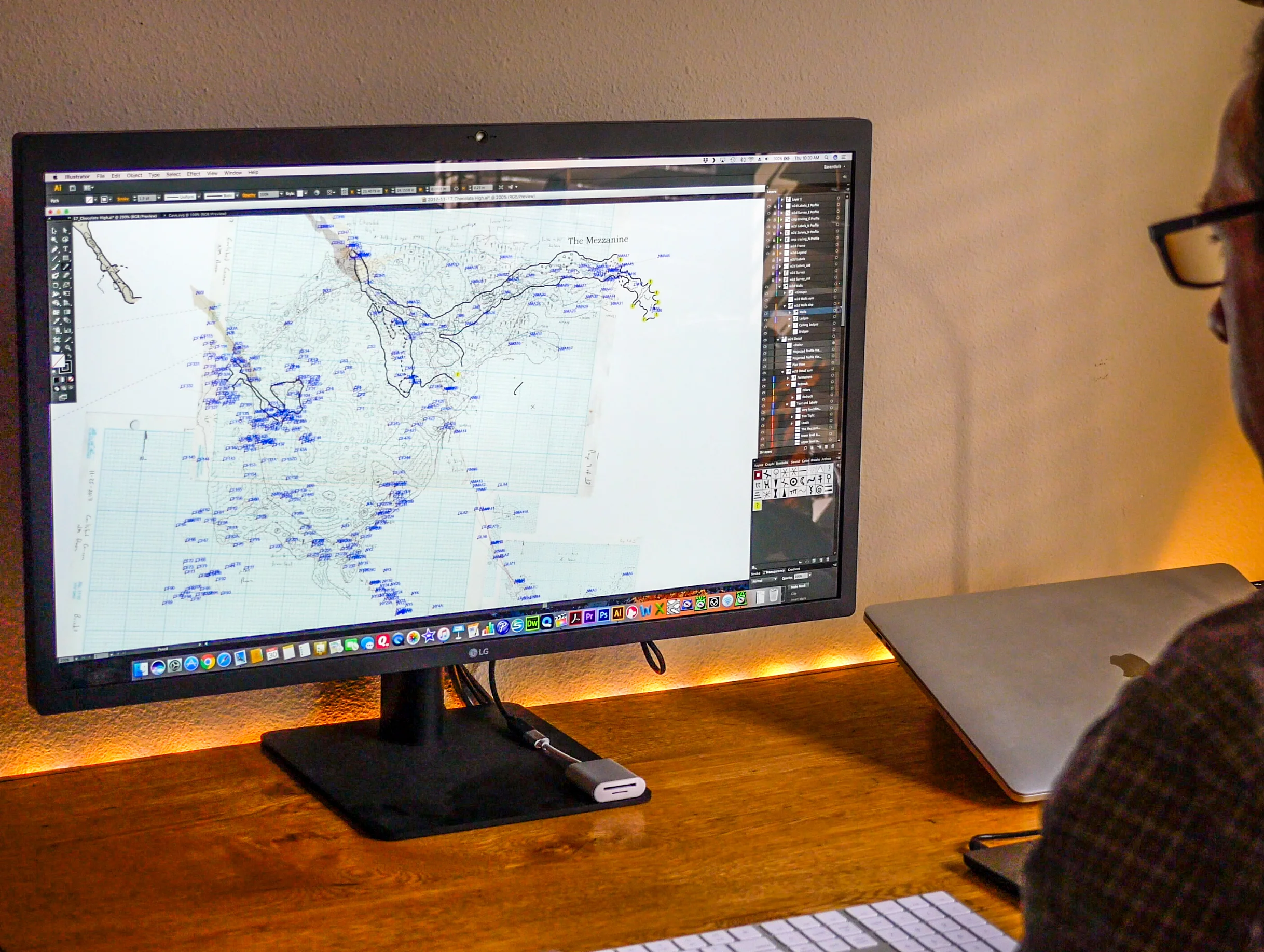
Use the drafting software to create a new file or modify an existing cave map document, and import the line-plot data.
Link the digitally archived sketch note images to the cave map document. Scale, rotate and align the individual sketch page images with the line-plot.
Draft the new sketch notes in the drafting software by tracing the sketch note images. Draw walls, ledges, speleoclasts, speleothems, water features, floor detail, cross-sections, ceiling heights and elevations.
The flowchart below gives a generalized example of the workflow used to collect cave survey data and convert that data into a finished map. There are many steps involved and many pieces of software to learn.
Cartography Guide
A few years ago I got involved in the cartography of the Sistema Huautla cave in Mexico. In an attempt to standardize the data management and drafting of the cave survey I wrote up a general guide, which talks about some fundamental components of any map (e.g. title, description, legend, scale bar, north arrow, border, etc.). You may get some value in reading this document if you’re new to cave cartography.